State Route marker sign
Identifies a state highway. Each state designs its own marker, which should be about the size of the U.S. Route sign.
What to do
Learn your state's marker design and use it to follow state routes.
Learn your own State's marker shape so you can quickly tell a State route from a U.S. or county route in a cluster of signs.
Commons file shows the generic MUTCD design; real designs vary by state.
Where it's used
Section 2D.11 says State Route signs are designed by each State highway agency, using the standard sign alphabets. They should be rectangular and about the same size as the U.S. Route sign, with black numbers on a white area set on a black background without complex graphics, and the white area should be a circle unless the State chooses another shape. On green guide signs only the distinctive shape and numbers are shown.
Don't confuse it with
- U.S. Route marker: The U.S. Route marker always uses the same white shield on black, while State markers vary from State to State.
- County Route marker: The County Route marker is a blue pentagon with yellow lettering.
- Interstate Route marker: The Interstate marker is a red, white and blue shield.

- Type
- Route markers
- Shape
- Square (design varies by state)
- Colors
- white, black
- MUTCD code
- M1-5
- MUTCD section
- 2D.11
More route markers
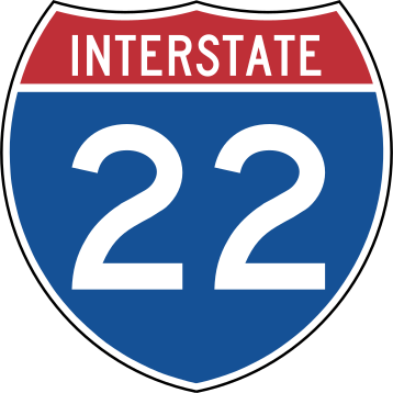 Interstate Route marker
 Off-Interstate Business Loop marker
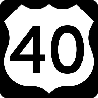 U.S. Route marker
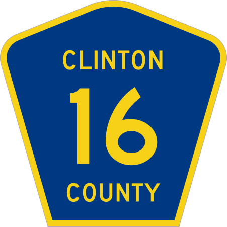 County Route marker
From the Manual on Uniform Traffic Control Devices (MUTCD), 11th edition, section 2D.11. Sign image: public domain, source.