County Route marker sign
Identifies a county road; it uses a pentagon with tapered lower sides.
What to do
Use the number to follow the county route.
Use the yellow-on-blue pentagon and its number to follow county roads, which often link smaller towns not shown on State signs.
Where it's used
Section 2D.11 says that if county road authorities set up a special system of important county roads, a statewide policy with a uniform numbering system must be adopted. The County Route (M1-6) sign must be a pentagon with tapered lower sides, showing the county name, route number and border in yellow on blue, at least 24 x 24 inches. When it appears on a guide sign, the county name and the word COUNTY may be left off.
Don't confuse it with
- School: The School sign is also a pentagon but is fluorescent yellow-green with children symbols, pointing up; the County Route sign is blue and yellow with a number.
- State Route marker: State route markers are usually black and white and designed by each State.
- U.S. Route marker: The U.S. Route marker is a black-and-white shield.
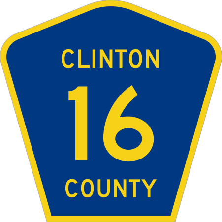
- Type
- Route markers
- Shape
- Pentagon
- Colors
- blue, yellow
- MUTCD code
- M1-6
- MUTCD section
- 2D.11
More route markers
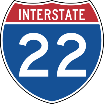 Interstate Route marker
 Off-Interstate Business Loop marker
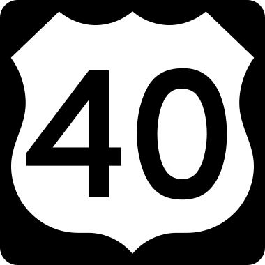 U.S. Route marker
 State Route marker
From the Manual on Uniform Traffic Control Devices (MUTCD), 11th edition, section 2D.11. Sign image: public domain, source.