Distance sign
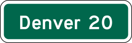
Lists up to three destinations along the route and the distance to each, to the nearest mile.
What to do
Use it to track how far you are from upcoming places.
Use the mileages to plan fuel and rest stops, remembering that the bottom line is usually the next major city.
Where it's used
Section 2D.43 says Distance (D2 series) signs, if used, must be horizontal rectangles listing no more than three cities, towns, junctions or other destinations with the distance to each to the nearest mile, numbers on the right. The top line should be the next place on the route and the bottom line the next major destination or control city, with the middle line used for other communities or junctions. It is a green guide sign with white legend.
Don't confuse it with
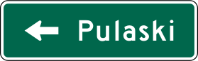
- Destination sign: The Destination sign uses arrows to point to places, while the Distance sign just lists how far ahead they are.
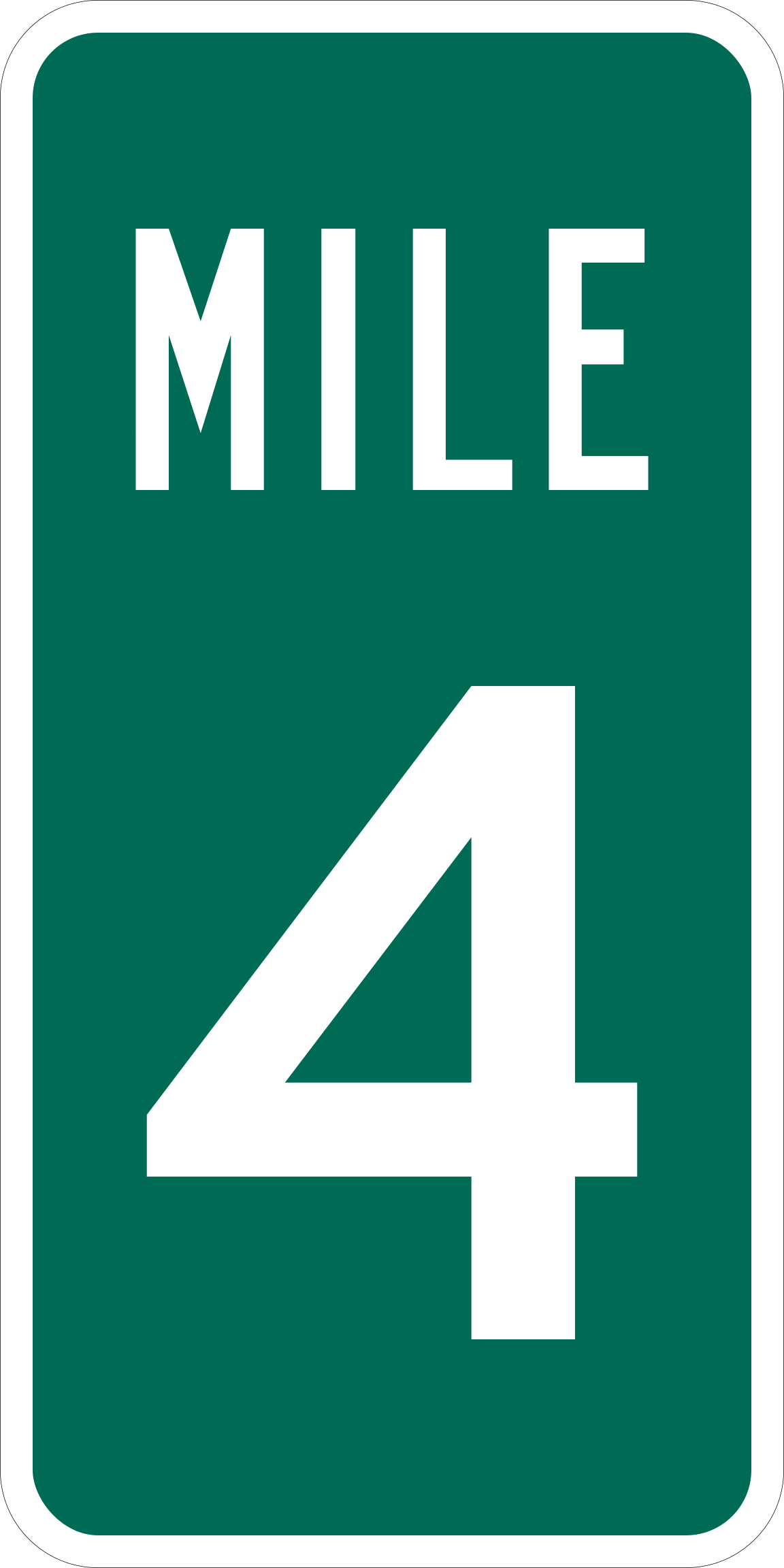
- Reference Location sign (mile marker): A mile marker shows your location along the highway, not the distance to towns.
- Type
- Guide signs
- Shape
- Horizontal rectangle
- Colors
- green, white
- MUTCD code
- D2-1
- MUTCD section
- 2D.43
More guide signs
 Destination sign
 Street Name sign
 Reference Location sign (mile marker)
 Exit Gore sign
 Freeway Entrance
 Bike Route
From the Manual on Uniform Traffic Control Devices (MUTCD), 11th edition, section 2D.43. Sign image: public domain, source.