Reference Location sign (mile marker) sign
Shows the distance point along the highway. Required on freeways (and some expressways) to help drivers track progress and to pinpoint crashes and emergencies.
What to do
Note the nearest mile marker so you can tell emergency responders exactly where you are.
Keep track of the last mile marker and your direction of travel so you can tell 911 exactly where you are in an emergency.
Where it's used
Section 2H.11 requires Reference Location (D10-1 to D10-3) signs on all freeways and on expressways where the route has continuous reference location signing, unless Enhanced Reference Location signs are used, to help drivers judge their progress and to pinpoint crashes, emergencies and maintenance sites. They may be used on any other highway or ramp. They are small vertical green signs with white numbers, and intermediate versions (D10-1a to D10-3a) with a tenth-of-a-mile decimal may be placed between them.
Don't confuse it with
- Distance sign: The Distance sign tells you how far to the next towns, while the mile marker shows your position along the highway.
- Exit Gore sign: Exit numbers on the Exit Gore sign are often based on mileposts, but the gore sign marks an exit, not a location point.
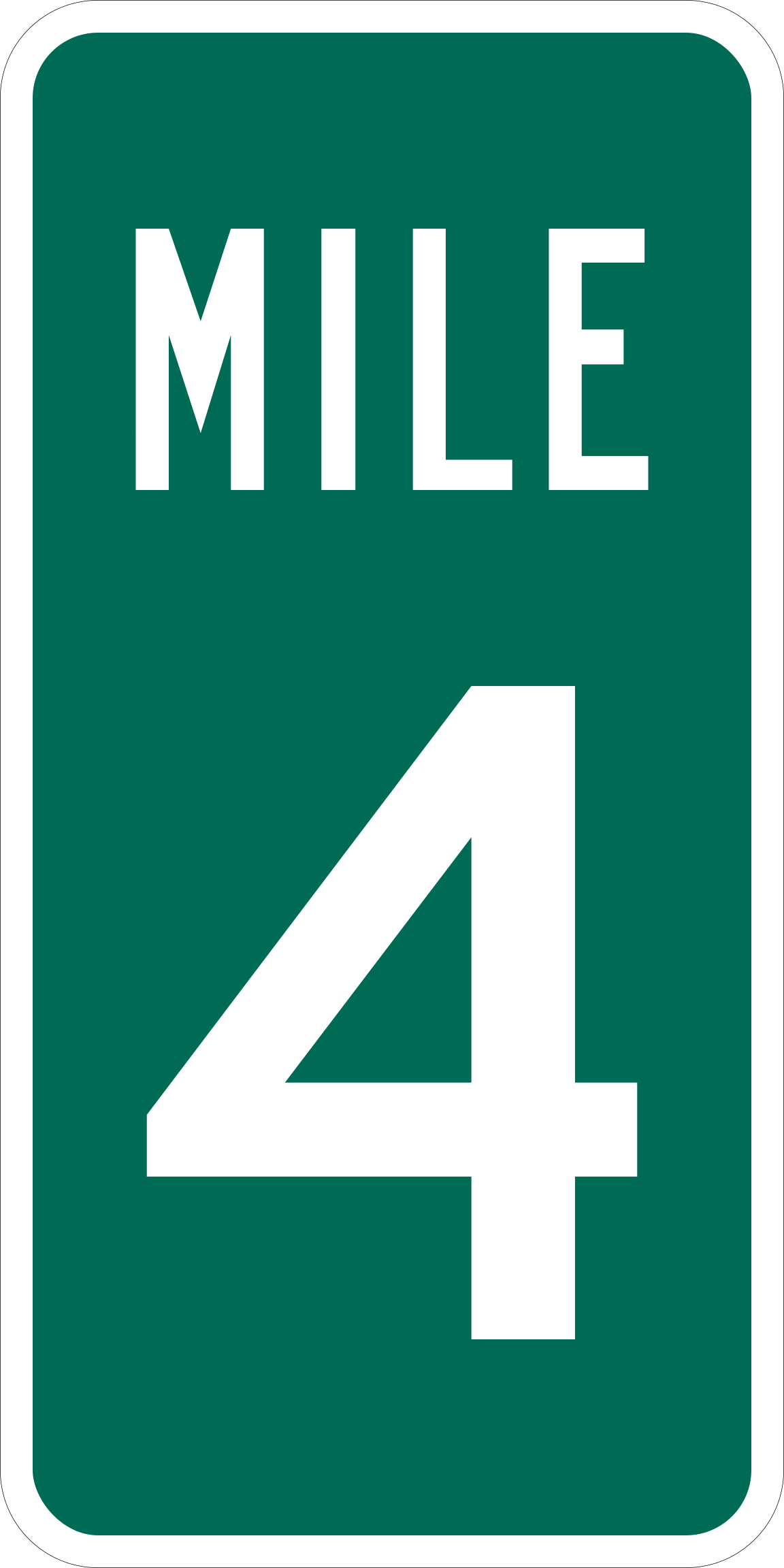
- Type
- Guide signs
- Shape
- Vertical rectangle
- Colors
- green, white
- MUTCD code
- D10-1
- MUTCD section
- 2H.11
More guide signs
 Destination sign
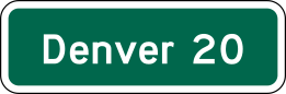 Distance sign
 Street Name sign
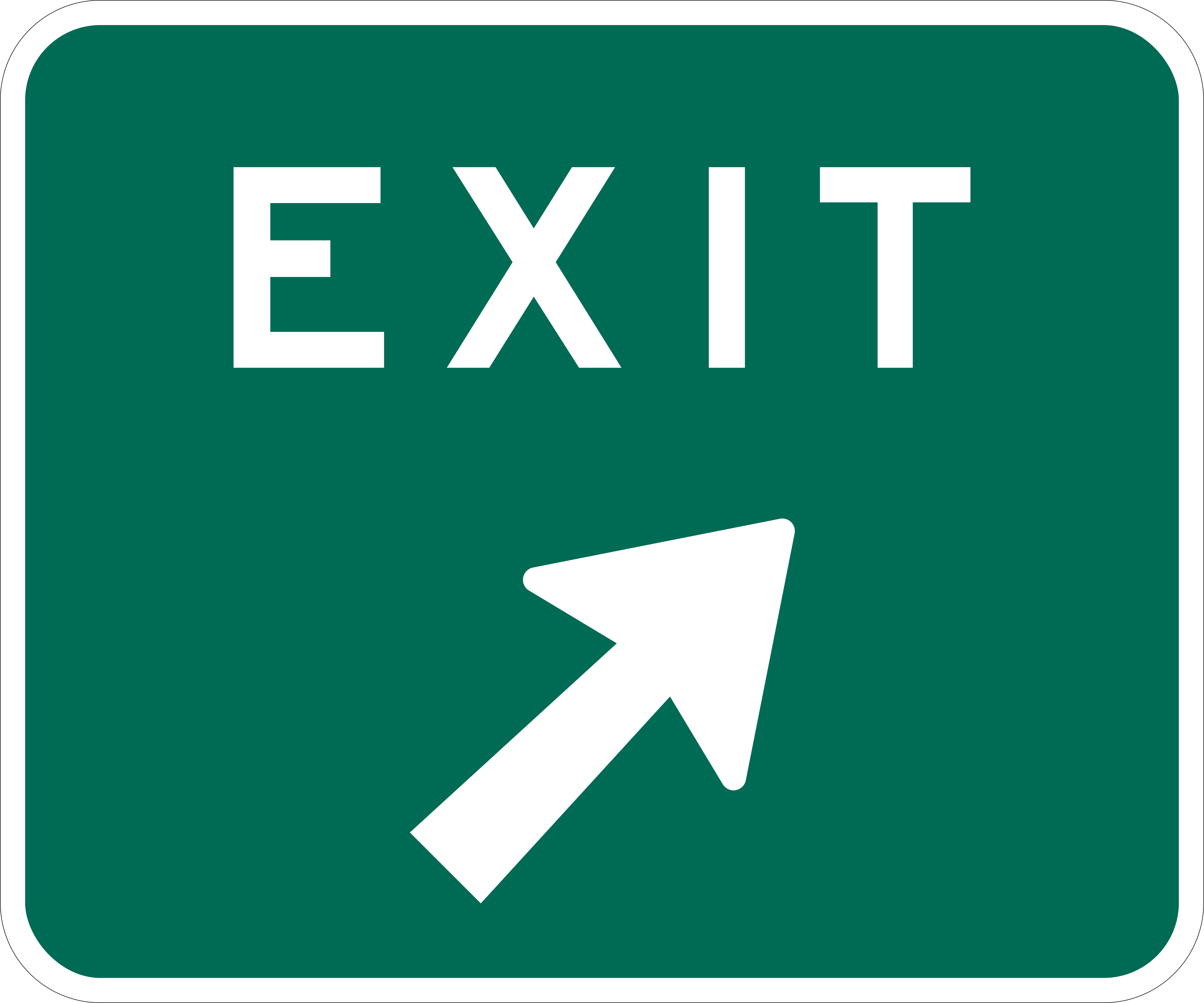 Exit Gore sign
 Freeway Entrance
 Bike Route
From the Manual on Uniform Traffic Control Devices (MUTCD), 11th edition, section 2H.11. Sign image: public domain, source.